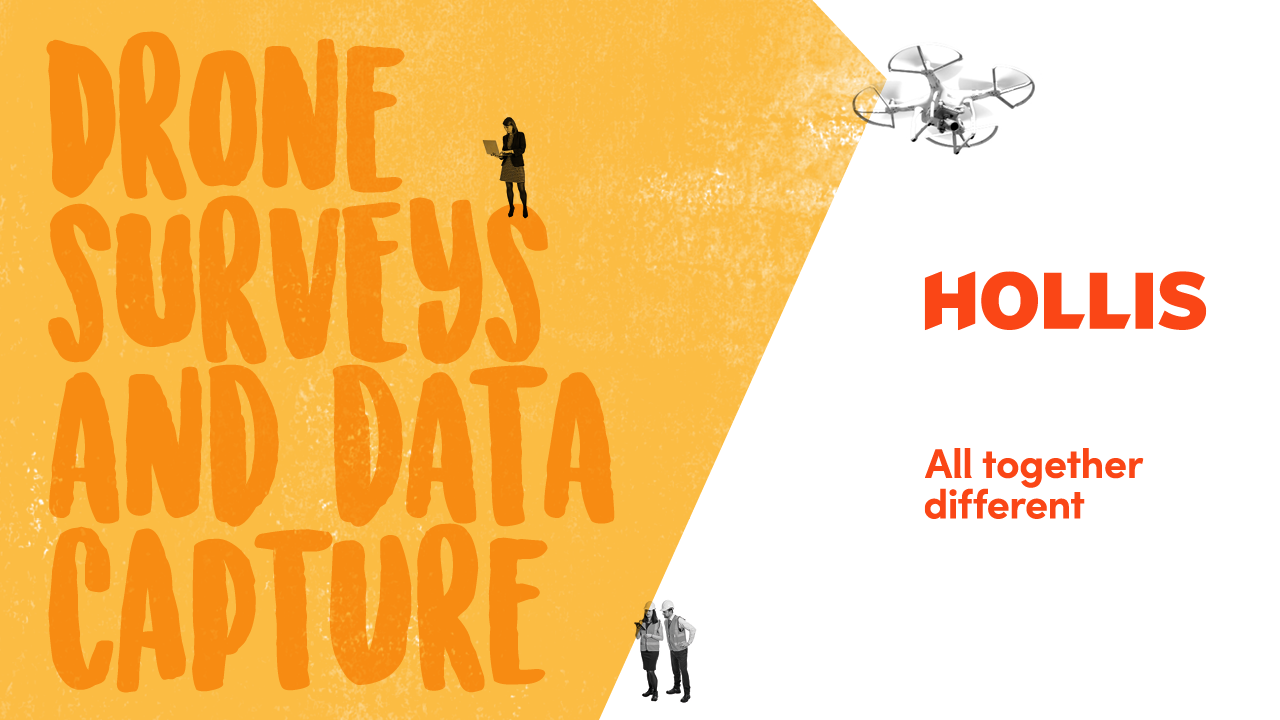
Drone surveys and data capture
We use data capture techniques to gather, analyse and visualise high-quality data to enable our clients to make more informed decisions. Our dedicated drone team operate a fleet of drones for a wide range of applications, offering nationwide coverage.

- Many different uses: Using the latest drone and data capture technology we can capture a wide range of visual imagery, video and other remote sensing data including general area photography, Geographic Information Systems (GIS), high resolution inspection surveys, aerial 360 panoramas and 3D modelling presented via our H360 virtual tour platform.
- Virtual due diligence and H360: Our virtual due diligence technology has proved invaluable in conducting property transactions remotely and has facilitated some of the industries biggest deals.
- New possibilities: Using photogrammetry we can produce point clouds, digital surface models and orthomosaics. The scope for using data from drones continues to expand exponentially.
- Seeing the bigger picture: The data generated by drones can help you visualise your site and get a clear view of building maintenance issues. For example, with a high-resolution drone survey of a roof we can map the entire extent of early stage cut-edge corrosion, revealing issues that may not be apparent from a MEWP (Mobile Elevating Working Platform).
- More accurate decision-making: Aerial surveys give us a much more detailed picture, so we can identify the extent of defects much more accurately, enabling our clients to make informed choices.
- Safety and environment first: Drones help reduce the amount of time spent working at height, which can significantly reduce project health and safety risk, as well as reducing the time required to travel to site minimising environmental impact.
Stuart Patience
Director
Energy solutions

Products
- Digital Surface Models
- H360 (virtual tours)
- Orthomosaics
- Photographs - general area and high-resolution inspection
- Point clouds
- Video
- Virtual due diligence (virtual tour with TDD)
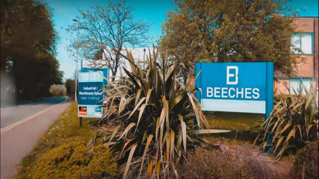
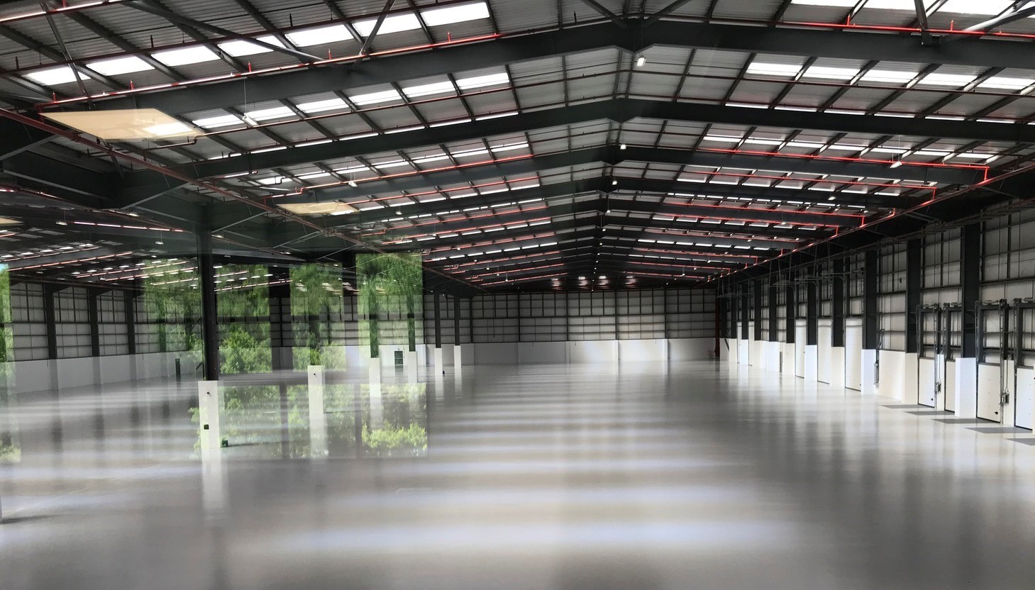
H360 virtual tour of Units 7 & 8, Beeches Industrial Estate, Bristol, UK.
H360 virtual tour
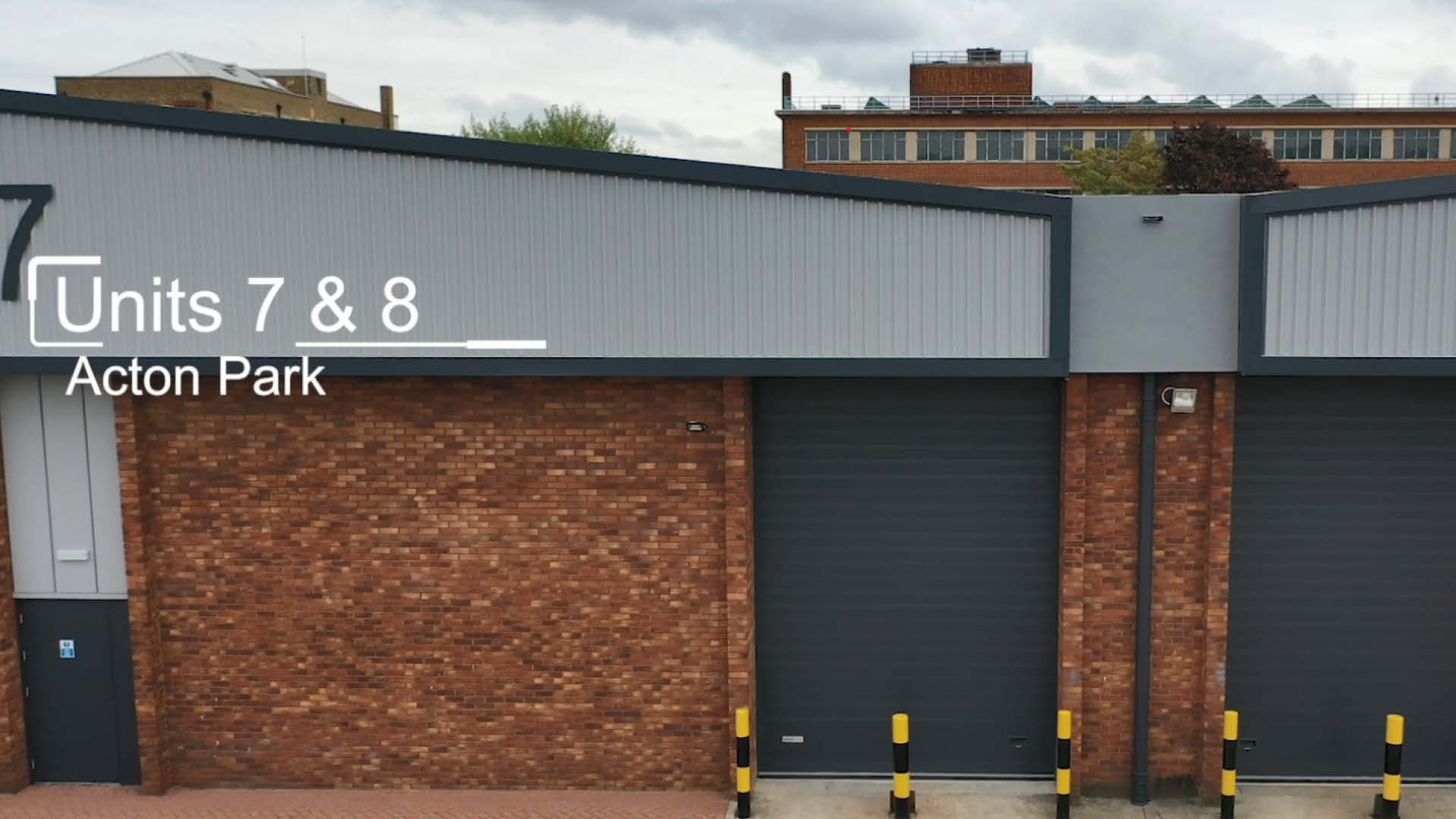
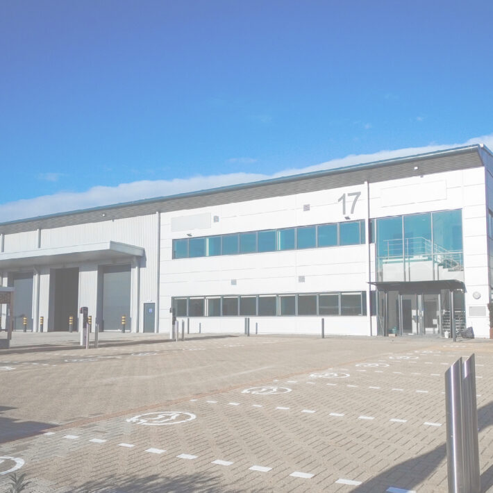
A drone survey of Segro's industrial unit - 7, 8 and 28, Acton Park Industrial Estate, London which Hollis project managed.
H360 Data Capture
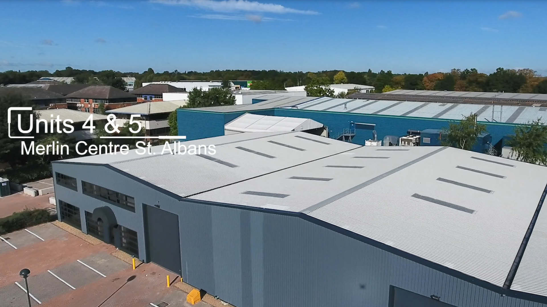
A drone survey of units 2, 4 & 5 Merlin Centre, St Albans which Hollis project managed working with our client Aberdeen Standard.
Virtual due diligence
Drones survey of Plot 8, Hounsdown Business Park, Southampton
Technology and innovation