

We use advanced data capture and drone technology to gather, analyse and visualise high-quality data, helping clients make informed decisions. Our dedicated drone team provides nationwide coverage.
Using the latest drone and data capture technology we can capture a wide range of visual imagery, video and other remote sensing data including general area photography, Geographic Information Systems (GIS), high resolution inspection surveys, aerial 360 panoramas and 3D modelling presented via our H360 virtual tour platform.
Our dedicated drone team of more than 20 registered pilots operate a fleet of drones for a wide range of applications, offering outstanding geographical coverage.
Our virtual due diligence technology has proved invaluable in conducting property transactions remotely and has facilitated some of the industry's biggest deals.
Using photogrammetry, we can produce point clouds, digital surface models, and orthomosaics. The scope for using data from drones continues to expand exponentially.
The data generated by drones can help you visualise your site and get a clear view of building maintenance issues. For example, with a high-resolution drone survey of a roof we can map the entire extent of early stage cut-edge corrosion, revealing issues that may not be apparent from a MEWP (Mobile Elevating Working Platform).
Aerial surveys give us a much more detailed picture, so we can identify the extent of defects much more accurately, enabling our clients to make informed choices.
Drones help reduce the amount of time spent working at height, which can significantly reduce project health and safety risk, as well as reducing the time required to travel to site minimising environmental impact.
We offer advanced virtual tours and data‑capture services that allow your prospective tenants to explore your space remotely with exceptional clarity.
- High‑resolution drone surveys
- Aerial photography and video
- Aerial 360° panoramas
- 3D modelling and photogrammetry
- Point clouds, digital surface models, and orthomosaics
- H360 virtual tours for interactive walkthroughs
- Virtual due diligence for remote property assessment.
At Hollis, we conduct an on‑site visit using 360° cameras and/or drones. All the data is captured safely and in line with aviation and site regulations.
Imagery is then processed into an interactive virtual tour in a format that suits your needs.
- Office interiors (open‑plan areas, meeting rooms, breakout spaces)
- Reception and communal areas
- External façades and surrounding site
- Roofs and hard‑to‑reach areas
- Plant rooms and service areas.
It all depends on the size of the building or site, but roughly it is;
- Small suites: 30–60 minutes
- Medium offices: 1–2 hours
- Large floors, rooftops or multi‑level spaces: half‑day or more.
Please get in touch though, as your project is unique and we at Hollis take that into consideration.

Director, Head of Energy Solutions and Drones and Data Capture
Stuart Patience
Products
- Digital Surface Models
- H360 (Virtual Tours)
- Orthomosaics
- Photographs - General Area and High-Resolution Inspection
- Point Clouds
- Thermographic Drone Inspection - Operational Safety, Coverage Efficiency, and Early Anomaly Detection
- Video
- Virtual Due Diligence (Virtual Tour with TDD)

Multidisciplinary services
Anchor Retail Park in London's East End, UK
We delivered purchaser TDD for a rare inner-London mixed-use asset.
Energy Solutions and Drone Surveys and Data Capture
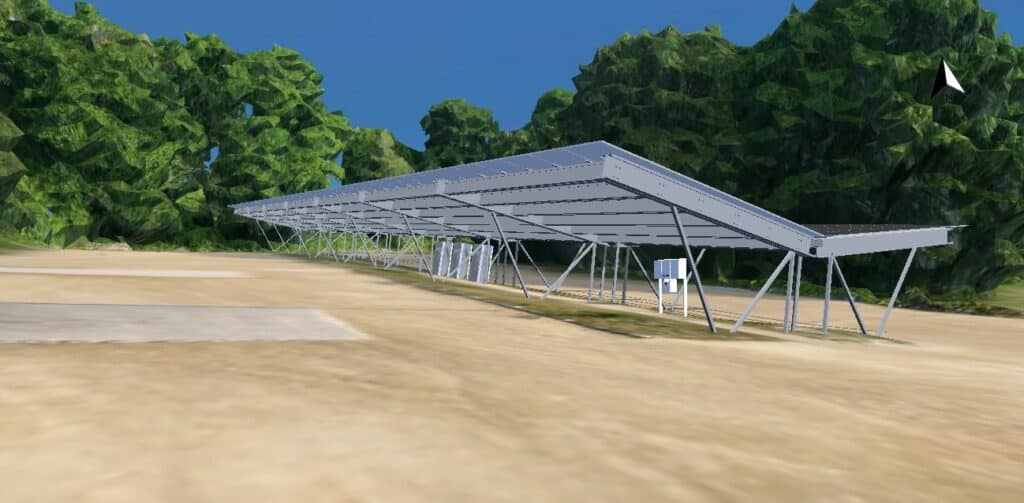
Advanced photovoltaic PV in Kent, UK
Using drone surveys and 3D modelling to deliver a sustainable, financially robust PV solution.
Multidisciplinary services
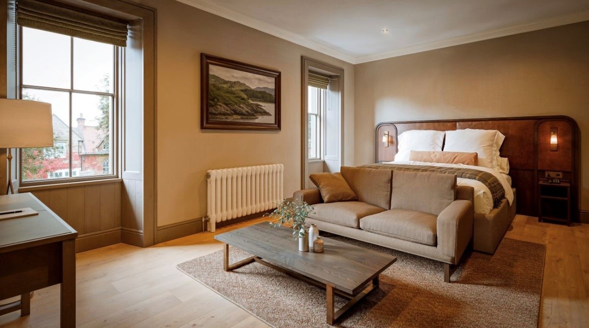
The Leddie hotel in Aberlady, Scotland
Refurbishing 1800’s boutique coastal hotel on the East Lothian Coast.

Multidisciplinary services
Unit 17 at Premier Park in Park Royal, London, UK
We delivered a highly sustainable, energy-efficient asset for SEGRO, on time and within budget.

Multidisciplinary support
3&4 Callaghan Square in Cardiff, Wales
A nine-year journey from acquisition to disposal in Cardiff.
Drone Surveys and Data Capture
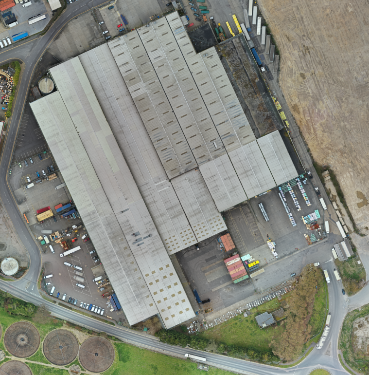
Larkfield Mill in Aylesford, Kent, UK
Using drone technology to capture industrial site roof condition for Mileway.

Multidisciplinary services
Rushden Lakes in Northamptonshire, UK
Investigation and resolution of multiple base-build defects.

Multidisciplinary services
Unity Building in Liverpool, UK
Complex remediation work after DLUHC eligibility granted
“By capturing data in a consistent and systematic manner, it is possible to start monitoring deterioration of assets over time, which can be used to tailor maintenance requirements. ”